Greetings Friend of Narnia!
Looks like you’ve wandered off the map… seeking something about Narnia or C.S. Lewis? Chances are the page or story you’re looking for is still here. We restructured some things, so the link may not work right now, but you can use the search to find what you were looking for.
Follow us in the Wood Between Worlds
We have several places so you can connect with us wherever you are.
- Bluesky
- Facebook
- Where you can also join our Chronicles of Narnia group
- Instagram
- Where you can also join our Broadcast Channel
- Spotify
- Threads
- X
- YouTube
You can also join our Narnia community forum or Discord!
Latest Headlines
- Retro Narnia Rocks: Vol. 11: “I Will Believe” Nichole Nordeman

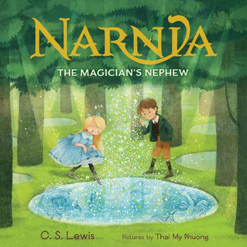
- Get Ready to Share the Magic of Narnia’s origins with the Littlest Friends of Narnia!
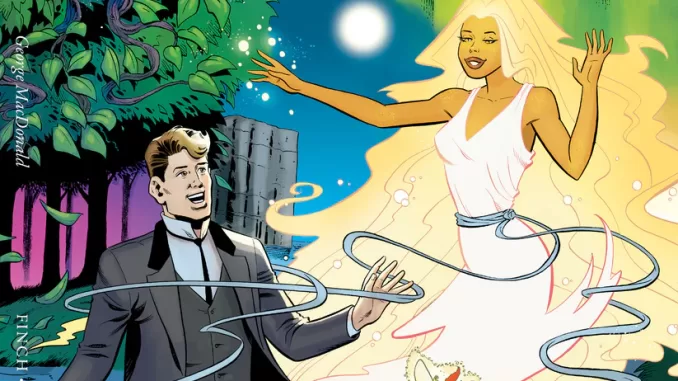
- Tumnus’ Bookshelf: The NarniaFans Book Reviews: George MacDonald’s Phantastes, adapted by Meredith Finch, Christine Norrie, and Andrew Pepoy
- Why Aslan Could Never be “Wicked”

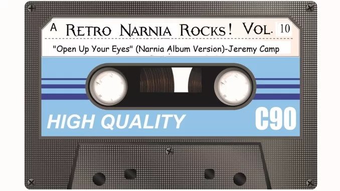
- Retro Narnia Rocks: Vol. 10-“Open Up Your Eyes” (Narnia Album Version)-Jeremy Camp
- Tumnus’ Bookshelf: The NarniaFans Book Reviews: The Screwtape Letters Handbook: William O’Flaherty
Narnia Fans Instagram


